
Thank you for supporting this site ❤️
Make a donation
Make a donation
Atakent topographic map
Click on the map to display elevation.
Thank you for supporting this site ❤️
Make a donation
Make a donation
About this map
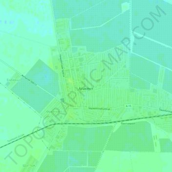
Name: Atakent topographic map, elevation, terrain.
Location: Atakent, Maktaaral District, Turkistan Region, Kazakhstan (40.83004 68.48563 40.86457 68.54298)
Average elevation: 264 m
Minimum elevation: 259 m
Maximum elevation: 268 m
Thank you for supporting this site ❤️
Make a donation
Make a donation