
Louise-Marie topographic map
Interactive map
Click on the map to display elevation.
About this map
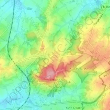
Name: Louise-Marie topographic map, elevation, terrain.
Average elevation: 78 m
Minimum elevation: 33 m
Maximum elevation: 153 m
Other topographic maps
Click on a map to view its topography, its elevation and its terrain.
Schorisse
Belgique > Flandre orientale > Audenarde > Markedal
Schorisse, Markedal, Audenarde, Flandre orientale, Flandre, 9688, Belgique
Average elevation: 77 m