
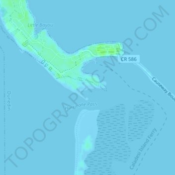
Honeymoon Island Dog Beach topographic map
Interactive map
Click on the map to display elevation.
About this map
Name: Honeymoon Island Dog Beach topographic map, elevation, terrain.
Average elevation: 0 m
Minimum elevation: -1 m
Maximum elevation: 7 m
Other topographic maps
Click on a map to view its topography, its elevation and its terrain.
Lake Shore Estates
United States > Florida > Pinellas County > Palm Harbor
Lake Shore Estates, Palm Harbor, Pinellas County, Florida, 34684, United States
Average elevation: 9 m
Acklocknayke (historical)
United States > Florida > Pinellas County > Palm Harbor
Acklocknayke (historical), Palm Harbor, Pinellas County, Florida, 34681, United States
Average elevation: 3 m