
Chehalis River topographic map
Interactive map
Click on the map to display elevation.
About this map
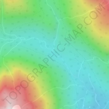
Name: Chehalis River topographic map, elevation, terrain.
Average elevation: 582 m
Minimum elevation: 261 m
Maximum elevation: 1,273 m
Other topographic maps
Click on a map to view its topography, its elevation and its terrain.
Lookout Lake
Canada > British Columbia > Area C (Sasquatch Country)
Lookout Lake, Area C (Sasquatch Country), British Columbia, Canada
Average elevation: 599 m
Grace Lake Recreation Site
Canada > British Columbia > Area C (Sasquatch Country)
Grace Lake Recreation Site, Weaver Creek Road, Area C (Sasquatch Country), Kent, Fraser Valley Regional District, British Columbia, V0M 1A1, Canada
Average elevation: 225 m
Harrison Lake
Canada > British Columbia > Area C (Sasquatch Country)
Harrison Lake, Area C (Sasquatch Country), British Columbia, Canada
Average elevation: 158 m