
Andres topographic map
Interactive map
Click on the map to display elevation.
About this map
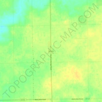
Name: Andres topographic map, elevation, terrain.
Location: Andres, Will County, Illinois, United States (41.35170 -87.90255 41.39170 -87.86255)
Average elevation: 219 m
Minimum elevation: 205 m
Maximum elevation: 227 m