
Thank you for supporting this site ❤️
Make a donation
Make a donation
Whitland topographic map
Click on the map to display elevation.
Thank you for supporting this site ❤️
Make a donation
Make a donation
About this map
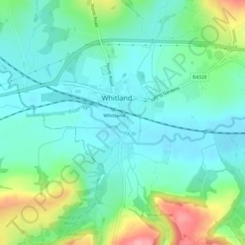
Name: Whitland topographic map, elevation, terrain.
Location: Whitland, Carmarthenshire, Wales, SA34 0QE, United Kingdom (51.81578 -4.61423 51.81734 -4.61275)
Average elevation: 43 m
Minimum elevation: 13 m
Maximum elevation: 124 m
Thank you for supporting this site ❤️
Make a donation
Make a donation