
Cane Creek topographic map
Interactive map
Click on the map to display elevation.
About this map
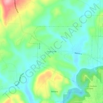
Name: Cane Creek topographic map, elevation, terrain.
Average elevation: 141 m
Minimum elevation: 95 m
Maximum elevation: 243 m
Other topographic maps
Click on a map to view its topography, its elevation and its terrain.
Warrior
United States > Alabama > Jefferson County > Warrior > Warrior
Warrior, Jefferson County, Alabama, 35180, United States
Average elevation: 143 m