
Sand Springs topographic map
Interactive map
Click on the map to display elevation.
About this map
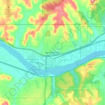
Name: Sand Springs topographic map, elevation, terrain.
Location: Sand Springs, Tulsa County, Oklahoma, 74063, United States (36.09943 -96.15000 36.17943 -96.07000)
Average elevation: 230 m
Minimum elevation: 187 m
Maximum elevation: 311 m