
荆门市 topographic map
Interactive map
Click on the map to display elevation.
About this map
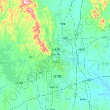
Name: 荆门市 topographic map, elevation, terrain.
Location: 荆门市, 湖北省, 中国 (30.87752 112.03380 31.19752 112.35380)
Average elevation: 136 m
Minimum elevation: 41 m
Maximum elevation: 620 m
Other topographic maps
Click on a map to view its topography, its elevation and its terrain.