
Hyrum topographic map
Interactive map
Click on the map to display elevation.
About this map
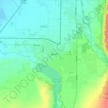
Name: Hyrum topographic map, elevation, terrain.
Location: Hyrum, Cache County, Utah, 84319-1660, United States (41.59412 -111.89519 41.67412 -111.81519)
Average elevation: 1,439 m
Minimum elevation: 1,354 m
Maximum elevation: 1,728 m