
Prathersville topographic map
Interactive map
Click on the map to display elevation.
About this map
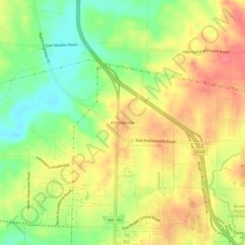
Name: Prathersville topographic map, elevation, terrain.
Location: Prathersville, Boone County, Missouri, 65202, United States (38.99810 -92.34185 39.03810 -92.30185)
Average elevation: 225 m
Minimum elevation: 188 m
Maximum elevation: 256 m