
巴松村 topographic map
Interactive map
Click on the map to display elevation.
About this map
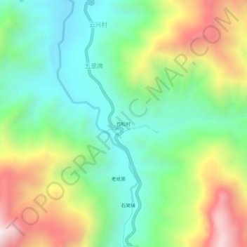
Name: 巴松村 topographic map, elevation, terrain.
Location: 巴松村, 五里牌, 会理市, 凉山彝族自治州, 四川省, 中国 (27.01390 102.24054 27.05390 102.28054)
Average elevation: 1,682 m
Minimum elevation: 1,301 m
Maximum elevation: 2,346 m