
Aïn Kihel topographic map
Interactive map
Click on the map to display elevation.
About this map
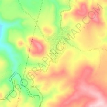
Name: Aïn Kihel topographic map, elevation, terrain.
Location: Aïn Kihel, Ain Kihal, Daïra Ain Kihal, Aïn Témouchent, Algérie (35.17726 -1.22059 35.21726 -1.18059)
Average elevation: 484 m
Minimum elevation: 327 m
Maximum elevation: 612 m