
Thank you for supporting this site ❤️
Make a donation
Make a donation
Teri topographic map
Click on the map to display elevation.
Thank you for supporting this site ❤️
Make a donation
Make a donation
About this map
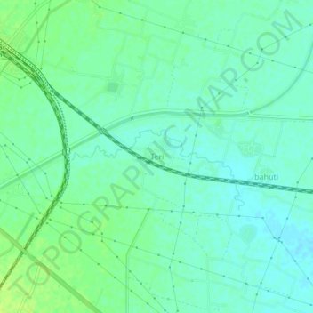
Name: Teri topographic map, elevation, terrain.
Location: Teri, Barun, Aurangabad District, Bihar, 824112, India (24.84689 84.23455 24.88689 84.27455)
Average elevation: 104 m
Minimum elevation: 98 m
Maximum elevation: 112 m
Thank you for supporting this site ❤️
Make a donation
Make a donation