
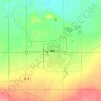
Raymond topographic map
Interactive map
Click on the map to display elevation.
About this map
Name: Raymond topographic map, elevation, terrain.
Location: Raymond, Town of Raymond, Alberta, T0K 2S0, Canada (49.42667 -112.70667 49.50667 -112.62667)
Average elevation: 960 m
Minimum elevation: 929 m
Maximum elevation: 1,005 m