
Vohburg topographic map
Interactive map
Click on the map to display elevation.
About this map
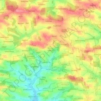
Name: Vohburg topographic map, elevation, terrain.
Average elevation: 482 m
Minimum elevation: 435 m
Maximum elevation: 521 m
Other topographic maps
Click on a map to view its topography, its elevation and its terrain.
Schleichwies
Deutschland > Bayern > Landkreis Landshut > Wurmsham
Schleichwies, Wurmsham, Velden (VGem), Landkreis Landshut, Bayern, 84189, Deutschland
Average elevation: 485 m