
Les Bauges topographic map
Interactive map
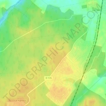
Click on the map to display elevation.
About this map
Name: Les Bauges topographic map, elevation, terrain.
Average elevation: 134 m
Minimum elevation: 116 m
Maximum elevation: 145 m
Other topographic maps
Click on a map to view its topography, its elevation and its terrain.
La Cave
France > Centre-Val de Loire > Loiret > Nogent-sur-Vernisson > La Cave
La Cave, Nogent-sur-Vernisson, Montargis, Loiret, Centre-Val de Loire, France métropolitaine, 45290, France
Average elevation: 129 m