
Bog Springs topographic map
Interactive map
Click on the map to display elevation.
About this map
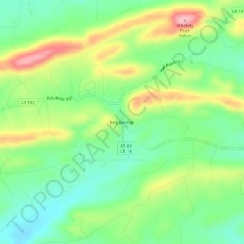
Name: Bog Springs topographic map, elevation, terrain.
Location: Bog Springs, Polk County, Arkansas, United States (34.30955 -94.44910 34.34955 -94.40910)
Average elevation: 385 m
Minimum elevation: 318 m
Maximum elevation: 495 m