
Ribeira de Nisa e Carreiras topographic map
Interactive map
Click on the map to display elevation.
About this map
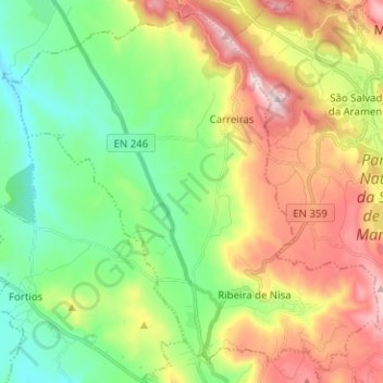
Name: Ribeira de Nisa e Carreiras topographic map, elevation, terrain.
Location: Ribeira de Nisa e Carreiras, Portalegre, Portugal (39.30800 -7.50603 39.39874 -7.38015)
Average elevation: 526 m
Minimum elevation: 336 m
Maximum elevation: 825 m