
梅林镇 topographic map
Interactive map
Click on the map to display elevation.
About this map
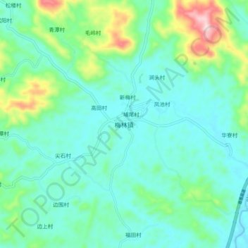
Name: 梅林镇 topographic map, elevation, terrain.
Location: 梅林镇, 揭阳市, 广东省, 中国 (23.20440 115.94694 23.28440 116.02694)
Average elevation: 115 m
Minimum elevation: 37 m
Maximum elevation: 398 m