
Farmington topographic map
Interactive map
Click on the map to display elevation.
About this map
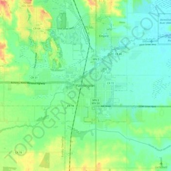
Name: Farmington topographic map, elevation, terrain.
Location: Farmington, Dakota County, Minnesota, 55024, United States (44.60024 -93.18355 44.68024 -93.10355)
Average elevation: 280 m
Minimum elevation: 264 m
Maximum elevation: 313 m