
Russell topographic map
Interactive map
Click on the map to display elevation.
About this map
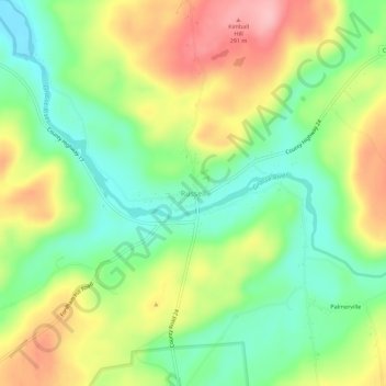
Name: Russell topographic map, elevation, terrain.
Location: Russell, Saint Lawrence County, New York, United States (44.40930 -75.17011 44.44930 -75.13011)
Average elevation: 218 m
Minimum elevation: 158 m
Maximum elevation: 297 m