
青龙湾河 topographic map
Interactive map
Click on the map to display elevation.
About this map
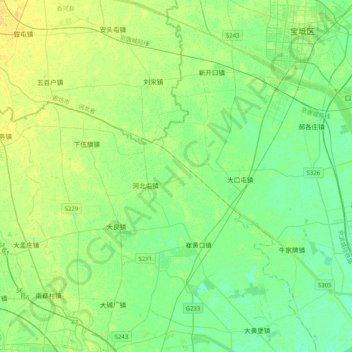
Name: 青龙湾河 topographic map, elevation, terrain.
Location: 青龙湾河, 宝坻区, 天津市, 中国 (39.48234 116.94278 39.69070 117.34851)
Average elevation: 8 m
Minimum elevation: 0 m
Maximum elevation: 18 m
Other topographic maps
Click on a map to view its topography, its elevation and its terrain.