
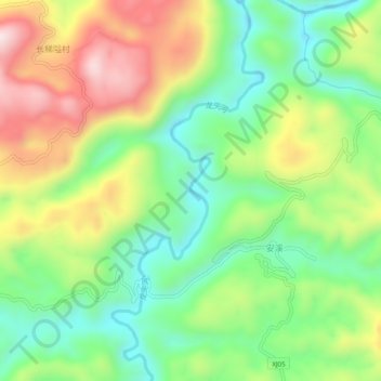
龙头河 topographic map
Interactive map
Click on the map to display elevation.
About this map
Name: 龙头河 topographic map, elevation, terrain.
Location: 龙头河, 常德市, 石门县, 湖南省, 中国 (29.79511 110.69520 29.83820 110.71491)
Average elevation: 537 m
Minimum elevation: 335 m
Maximum elevation: 834 m
Other topographic maps
Click on a map to view its topography, its elevation and its terrain.