
Reily topographic map
Interactive map
Click on the map to display elevation.
About this map
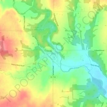
Name: Reily topographic map, elevation, terrain.
Location: Reily, Reily Township, Butler County, Ohio, United States (39.41366 -84.78106 39.45366 -84.74106)
Average elevation: 255 m
Minimum elevation: 216 m
Maximum elevation: 301 m