
Holland topographic map
Interactive map
Click on the map to display elevation.
About this map
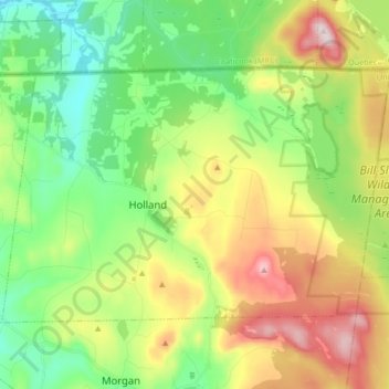
Name: Holland topographic map, elevation, terrain.
Location: Holland, Orleans County, Vermont, United States of America (44.93099 -72.06578 45.00837 -71.89931)
Average elevation: 471 m
Minimum elevation: 313 m
Maximum elevation: 738 m