
Vrolingen topographic map
Interactive map
Click on the map to display elevation.
About this map
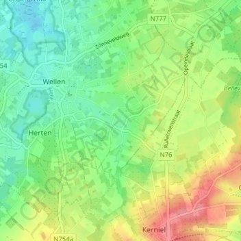
Name: Vrolingen topographic map, elevation, terrain.
Location: Vrolingen, Wellen, Tongeren, Limburg, Vlaanderen, 3831, België (50.81498 5.33461 50.85498 5.37461)
Average elevation: 62 m
Minimum elevation: 33 m
Maximum elevation: 107 m