
Northwood topographic map
Interactive map
Click on the map to display elevation.
About this map
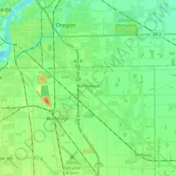
Name: Northwood topographic map, elevation, terrain.
Location: Northwood, Wood County, Ohio, United States of America (41.59242 -83.55649 41.61912 -83.41575)
Average elevation: 187 m
Minimum elevation: 173 m
Maximum elevation: 216 m