
Thieusies topographic map
Interactive map
Click on the map to display elevation.
About this map
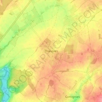
Name: Thieusies topographic map, elevation, terrain.
Location: Thieusies, Soignies, Hainaut, Wallonie, 7061, Belgique (50.49510 4.02896 50.53510 4.06896)
Average elevation: 102 m
Minimum elevation: 56 m
Maximum elevation: 131 m
Altitude max. 120 mètres