
南阳镇 topographic map
Interactive map
Click on the map to display elevation.
About this map
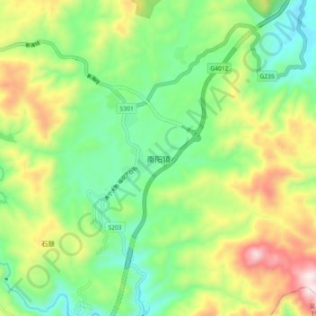
Name: 南阳镇 topographic map, elevation, terrain.
Location: 南阳镇, 寿宁县, 宁德市, 福建省, 中国 (27.35578 119.55036 27.43578 119.63036)
Average elevation: 667 m
Minimum elevation: 406 m
Maximum elevation: 1,124 m
Other topographic maps
Click on a map to view its topography, its elevation and its terrain.