
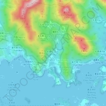
Tai Po Tsai topographic map
Interactive map
Click on the map to display elevation.
About this map
Name: Tai Po Tsai topographic map, elevation, terrain.
Location: Tai Po Tsai, Sai Kung District, Hong Kong, DD165 1471, PRC (22.37721 114.27887 22.41721 114.31887)
Average elevation: 83 m
Minimum elevation: -3 m
Maximum elevation: 366 m