
吉水街道 topographic map
Interactive map
Click on the map to display elevation.
About this map
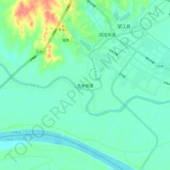
Name: 吉水街道 topographic map, elevation, terrain.
Location: 吉水街道, 望江县, 安庆市, 安徽省, 中国 (30.06307 116.64027 30.14307 116.72027)
Average elevation: 18 m
Minimum elevation: 3 m
Maximum elevation: 69 m
Other topographic maps
Click on a map to view its topography, its elevation and its terrain.