
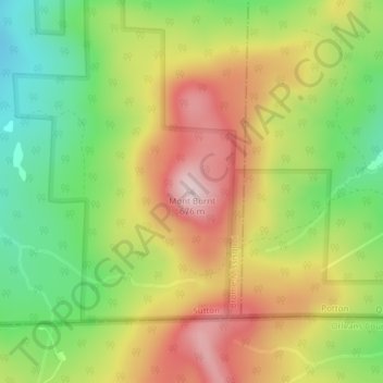
Mont Burnt topographic map
Interactive map
Click on the map to display elevation.
About this map
Name: Mont Burnt topographic map, elevation, terrain.
Location: Mont Burnt, Sutton, Brome-Missisquoi, Estrie, Québec, Canada (45.01756 -72.48998 45.01766 -72.48988)
Average elevation: 479 m
Minimum elevation: 307 m
Maximum elevation: 665 m