
Gampong Pande topographic map
Interactive map
Click on the map to display elevation.
About this map
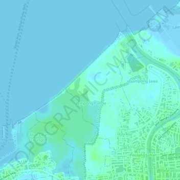
Name: Gampong Pande topographic map, elevation, terrain.
Location: Gampong Pande, Kuta Raja, Banda Aceh, Aceh, Indonesia (5.56578 95.30529 5.58381 95.31729)
Average elevation: 2 m
Minimum elevation: -2 m
Maximum elevation: 8 m