
El Ouatta topographic map
Interactive map
Click on the map to display elevation.
About this map
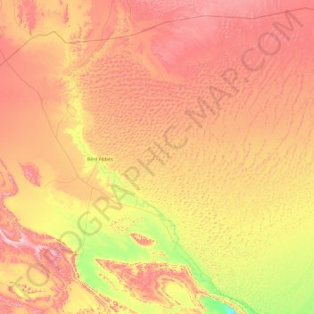
Name: El Ouatta topographic map, elevation, terrain.
Location: El Ouatta, Daïra El Ouatta, Béni Abbès, Algérie (29.39435 -2.04285 30.88009 -0.29806)
Average elevation: 552 m
Minimum elevation: 308 m
Maximum elevation: 852 m