
Garland topographic map
Interactive map
Click on the map to display elevation.
About this map
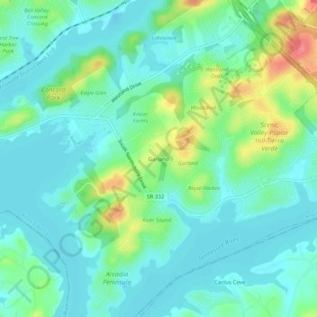
Name: Garland topographic map, elevation, terrain.
Location: Garland, Knox County, Tennessee, 37922, United States (35.83814 -84.12825 35.87814 -84.08825)
Average elevation: 264 m
Minimum elevation: 245 m
Maximum elevation: 316 m