
Plain City topographic map
Interactive map
Click on the map to display elevation.
About this map
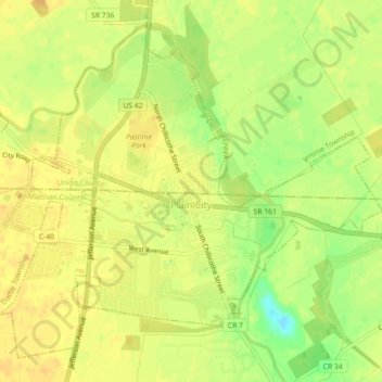
Name: Plain City topographic map, elevation, terrain.
Location: Plain City, Madison County, Ohio, 43064, United States (40.09414 -83.28929 40.12398 -83.24458)
Average elevation: 285 m
Minimum elevation: 265 m
Maximum elevation: 292 m