
Slumbung topographic map
Interactive map
Click on the map to display elevation.
About this map
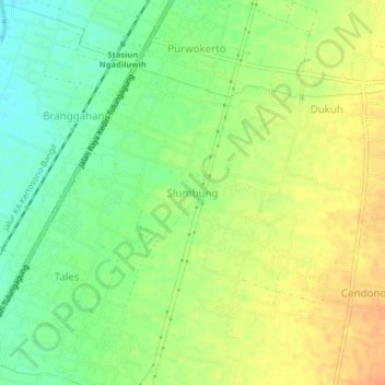
Name: Slumbung topographic map, elevation, terrain.
Location: Slumbung, Kediri, East Java, Indonesia (-7.93394 111.97518 -7.89394 112.01518)
Average elevation: 92 m
Minimum elevation: 72 m
Maximum elevation: 112 m