
Taman Sena Indah topographic map
Interactive map
Click on the map to display elevation.
About this map
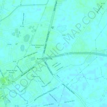
Name: Taman Sena Indah topographic map, elevation, terrain.
Location: Taman Sena Indah, Kangar, Perlis, 01300, Malaysia (6.43645 100.19736 6.45645 100.21736)
Average elevation: 5 m
Minimum elevation: 2 m
Maximum elevation: 10 m
Other topographic maps
Click on a map to view its topography, its elevation and its terrain.
Perlis River
Perlis River, Kangar, Perlis, 01000, Malaysia
Average elevation: 23 m
Bukit Ketri
Bukit Ketri, Kangar, Perlis, 02400, Malaysia
Average elevation: 22 m