
Ain Arko topographic map
Interactive map
Click on the map to display elevation.
About this map
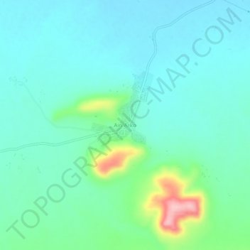
Name: Ain Arko topographic map, elevation, terrain.
Location: Ain Arko, Tamlouka, Daïra Ain Makhlouf, Guelma, 24030, Algérie (36.07240 7.09634 36.11240 7.13634)
Average elevation: 792 m
Minimum elevation: 758 m
Maximum elevation: 926 m