
郭屯镇 topographic map
Interactive map
Click on the map to display elevation.
About this map
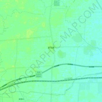
Name: 郭屯镇 topographic map, elevation, terrain.
Location: 郭屯镇, 郓城县, 菏泽市, 山东省, 中国 (35.43296 115.88465 35.52088 115.98229)
Average elevation: 44 m
Minimum elevation: 40 m
Maximum elevation: 49 m
Other topographic maps
Click on a map to view its topography, its elevation and its terrain.