
Thank you for supporting this site ❤️
Make a donation
Make a donation
Lac Rocher topographic map
Click on the map to display elevation.
Thank you for supporting this site ❤️
Make a donation
Make a donation
About this map
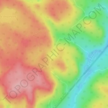
Name: Lac Rocher topographic map, elevation, terrain.
Location: Lac Rocher, Lac-Normand, Mékinac, Mauricie, Québec, Canada (47.23193 -73.67433 47.23367 -73.67158)
Average elevation: 446 m
Minimum elevation: 359 m
Maximum elevation: 514 m
Thank you for supporting this site ❤️
Make a donation
Make a donation
Other topographic maps
Click on a map to view its topography, its elevation and its terrain.