
Thank you for supporting this site ❤️
Make a donation
Make a donation
Iquitos topographic map
Click on the map to display elevation.
Thank you for supporting this site ❤️
Make a donation
Make a donation
About this map
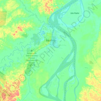
Name: Iquitos topographic map, elevation, terrain.
Location: Iquitos, Province of Maynas, Loreto, Peru (-3.88645 -73.59096 -3.68525 -73.23643)
Average elevation: 94 m
Minimum elevation: 78 m
Maximum elevation: 146 m
Thank you for supporting this site ❤️
Make a donation
Make a donation