
66440 topographic map
Interactive map
Click on the map to display elevation.
About this map
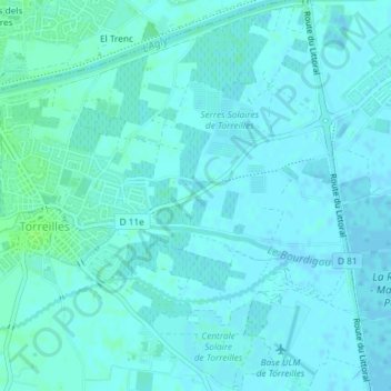
Name: 66440 topographic map, elevation, terrain.
Average elevation: 2 m
Minimum elevation: -2 m
Maximum elevation: 8 m
Other topographic maps
Click on a map to view its topography, its elevation and its terrain.
Torreilles-Plage
France > Occitanie > Pyrénées-Orientales > Torreilles
Torreilles-Plage, Torreilles, Perpignan, Pyrénées-Orientales, Occitanie, France métropolitaine, 66440, France
Average elevation: 1 m