
Rocky Fork topographic map
Interactive map
Click on the map to display elevation.
About this map
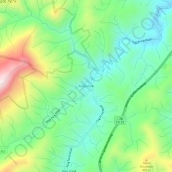
Name: Rocky Fork topographic map, elevation, terrain.
Location: Rocky Fork, Unicoi County, Tennessee, 37657, United States (36.01518 -82.57217 36.05518 -82.53217)
Average elevation: 818 m
Minimum elevation: 601 m
Maximum elevation: 1,259 m