
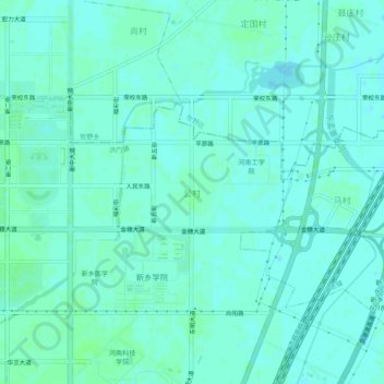
公村 topographic map
Interactive map
Click on the map to display elevation.
About this map
Name: 公村 topographic map, elevation, terrain.
Location: 公村, 洪门镇, 红旗区, 新乡市, 河南省, 中国 (35.28039 113.92048 35.32039 113.96048)
Average elevation: 72 m
Minimum elevation: 69 m
Maximum elevation: 75 m
Other topographic maps
Click on a map to view its topography, its elevation and its terrain.