
Holleben topographic map
Interactive map
Click on the map to display elevation.
About this map
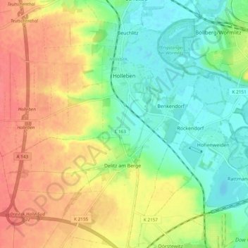
Name: Holleben topographic map, elevation, terrain.
Average elevation: 104 m
Minimum elevation: 76 m
Maximum elevation: 137 m
Holleben liegt sechs Kilometer südwestlich von Halle im westlichen Saaletal in einer Höhe von 90 m ü. NN.