
Macomb topographic map
Interactive map
Click on the map to display elevation.
About this map
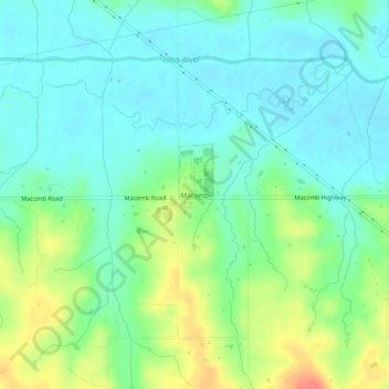
Name: Macomb topographic map, elevation, terrain.
Location: Macomb, Pottawatomie County, Oklahoma, 74852, United States (35.12547 -97.02884 35.16547 -96.98884)
Average elevation: 298 m
Minimum elevation: 280 m
Maximum elevation: 337 m