
紫坪铺水库 topographic map
Interactive map
Click on the map to display elevation.
About this map
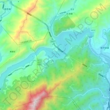
Name: 紫坪铺水库 topographic map, elevation, terrain.
Location: 紫坪铺水库, 都江堰市, 成都市, 汶川县, 阿坝藏族羌族自治州, 四川省, 中国 (30.98110 103.46351 31.05587 103.57833)
Average elevation: 1,153 m
Minimum elevation: 719 m
Maximum elevation: 2,387 m