
Thank you for supporting this site ❤️
Make a donation
Make a donation
Stocking Island topographic map
Click on the map to display elevation.
Thank you for supporting this site ❤️
Make a donation
Make a donation
About this map
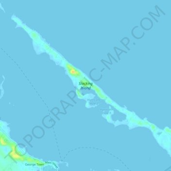
Name: Stocking Island topographic map, elevation, terrain.
Location: Stocking Island, Exuma, The Bahamas (23.50828 -75.78154 23.54499 -75.73392)
Average elevation: 1 m
Minimum elevation: -1 m
Maximum elevation: 30 m
Thank you for supporting this site ❤️
Make a donation
Make a donation